 (http://www.rollanet.org/~conorw/cwome/hahatonka_topo_map.jpg)
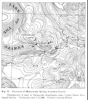
A Topographic map is a map that utilizes contour lines to represent a phenomena. A contour line is a line that is drawn and connected at equal points of elevation. In a Topographic map, the contour lines usually portray the elevation of hills, valleys, etc.
No comments:
Post a Comment